Visuals
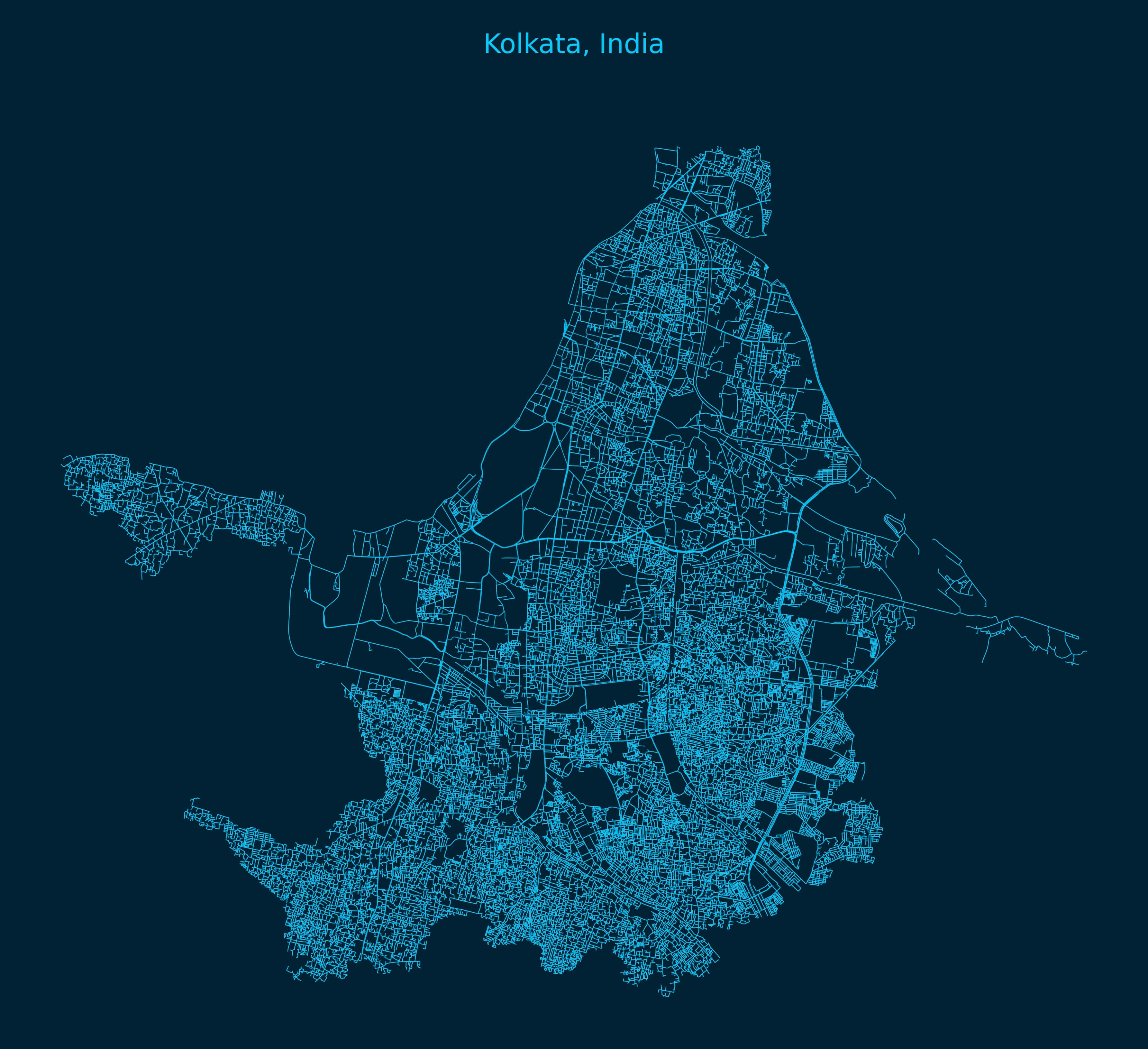
Kolkata Network Map
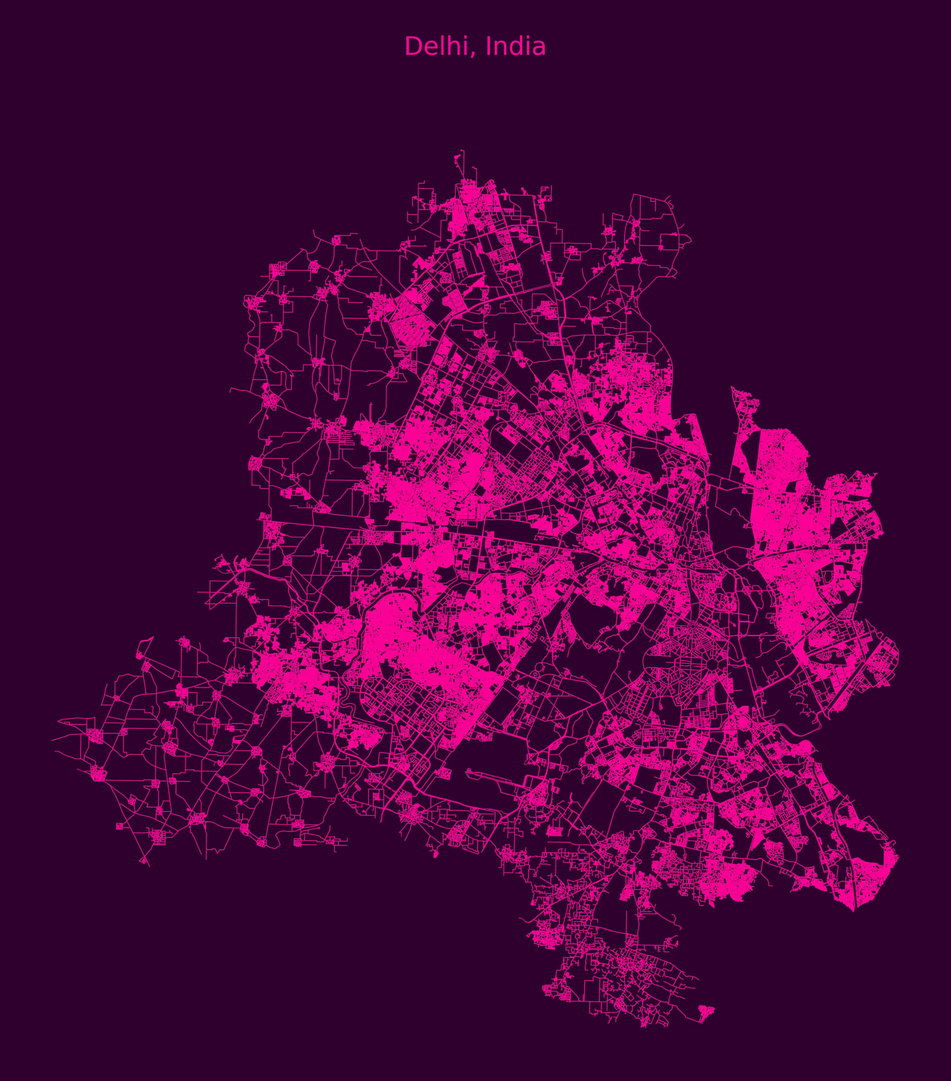
Delhi Network Map
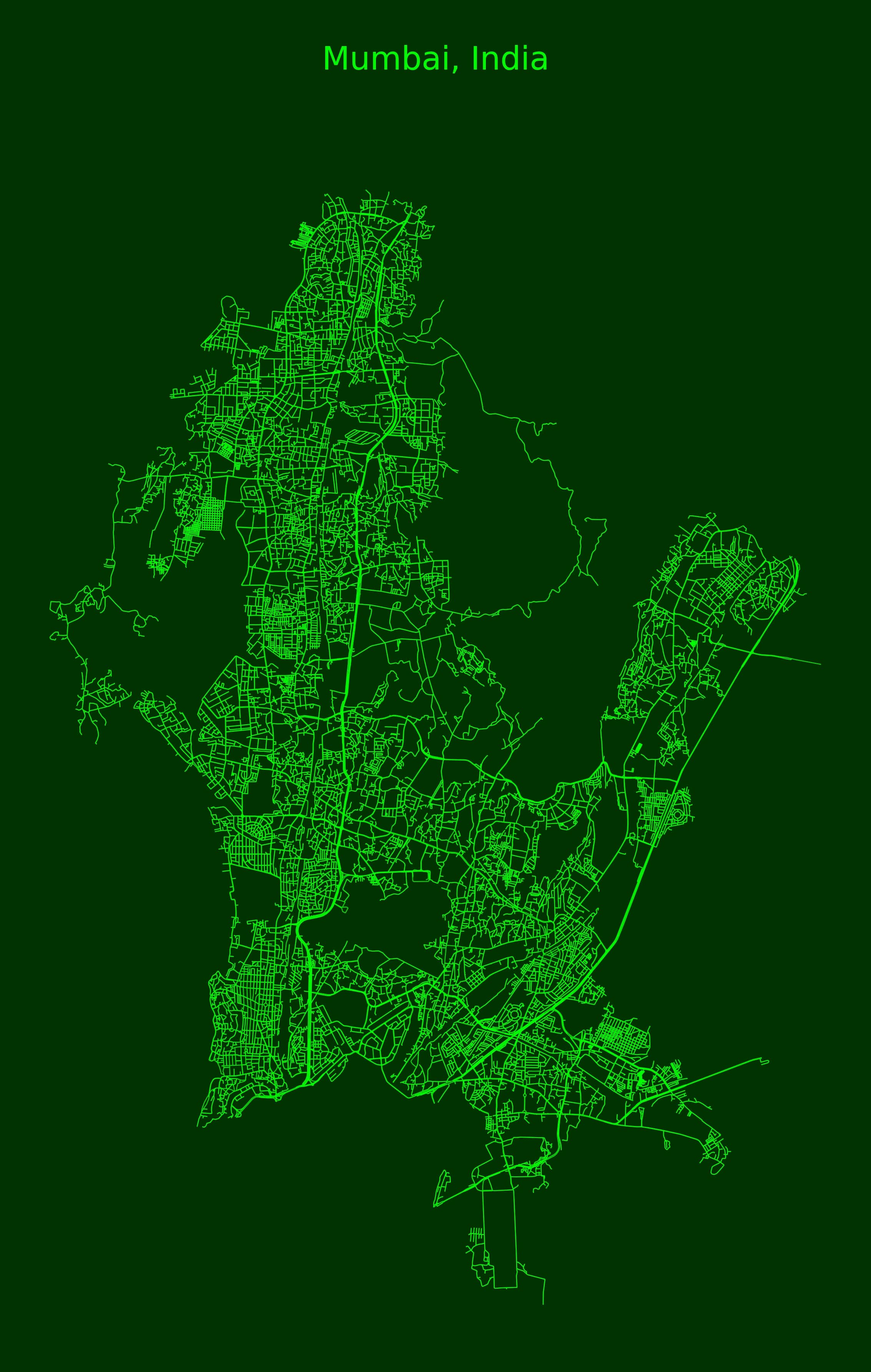
Mumbai Network Map
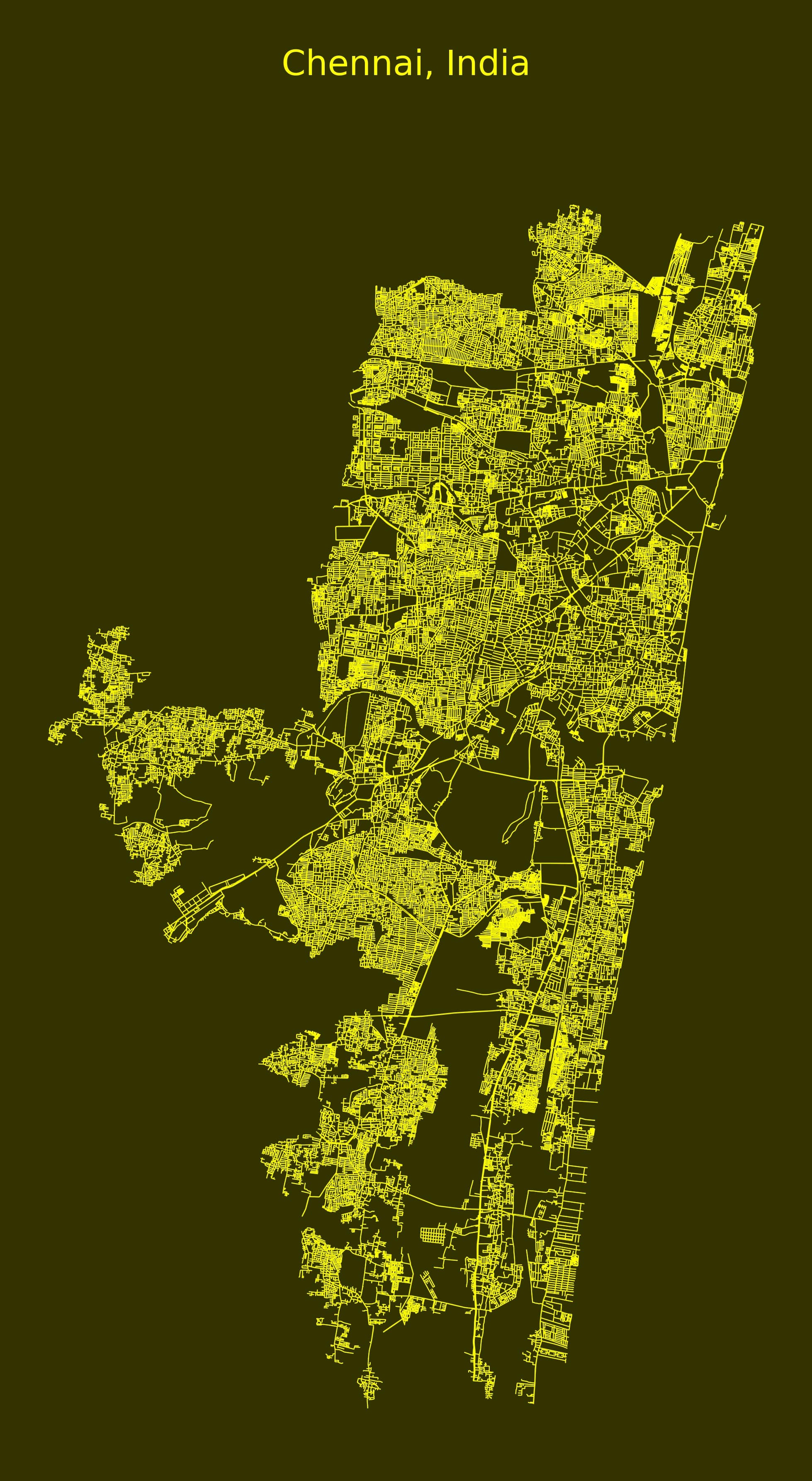
Chennai Network Map
An urban-scale analysis using OSMnx, NetworkX, and Python geospatial libraries
This project visualizes and compares road network characteristics of major Indian cities using OpenStreetMap data. Tools like OSMnx and NetworkX are used to extract, process, and analyze urban infrastructure metrics such as connectivity, centrality, and edge density.
Kolkata Network Map
Delhi Network Map
Mumbai Network Map
Chennai Network Map
You can download the complete Python source code and Jupyter notebook used in this project below:
⬇️ Download Jupyter Notebook