GEOGRAPHY & GEO-INFORMATICS
From the Field to the Map: The Critical Role of Ground Truth in Geospatial Analysis
By Suman Bhowmick | Published on August 21, 2025
As professionals in geography and geo-informatics, we understand that a map is only as credible as the data behind it. While satellite programs like Landsat and Sentinel provide us with extraordinary volumes of data about our planet, the integrity of our analysis depends on a foundational practice: ground truthing.
In our field, "ground truth" refers to information collected directly at a location on the Earth's surface. It is the indispensable link that connects the pixel-based world of remote sensing imagery to the tangible reality on the ground. This verified, on-site data is the gold standard for training and validating the complex models that power our analyses. It ensures our maps and insights accurately reflect real-world conditions, rather than being artifacts of sensor limitations, atmospheric distortion, or algorithmic error.
Bridging the Divide: From Raw Pixels to Actionable Intelligence
The true power of ground truthing lies in its ability to transform raw data into reliable, actionable intelligence. This process is critical for several key functions within our workflows:
-
Calibration and Atmospheric Correction:
Satellite sensors look through the Earth's atmosphere, which can distort spectral values. We use ground-based instruments like spectroradiometers to measure the exact spectral reflectance of known targets. This data allows us to apply sophisticated atmospheric correction models, such as FLAASH or Sen2Cor [1], ensuring the spectral signature of a feature in the image accurately represents its true properties.
-
Training Machine Learning Models:
In supervised classification, ground truth provides the labeled "training sites" that teach an algorithm to recognize specific features. For instance, to map crop types, we collect GPS points for known fields of corn, wheat, and soy. These labeled points allow our model to learn the unique spectral signature of each crop, enabling it to accurately map agricultural activity across an entire region.
-
Validation and Accuracy Assessment:
This is the formal audit of our final product. To prove a map's reliability, we compare it against an independent set of ground truth points. This step is non-negotiable for any serious analysis because it quantifies the map's accuracy. The results are often presented in a confusion matrix, which details not just the overall accuracy but also specific metrics like Producer's and User's Accuracy for each class, revealing where the model succeeded and where it failed [2].
Methodologies in Practice: The Modern Geographer's Toolkit
Our methods for gathering ground truth have evolved to include a range of high-precision technologies:
Our toolkit combines traditional fieldwork with cutting-edge technology to ensure the highest level of data fidelity.
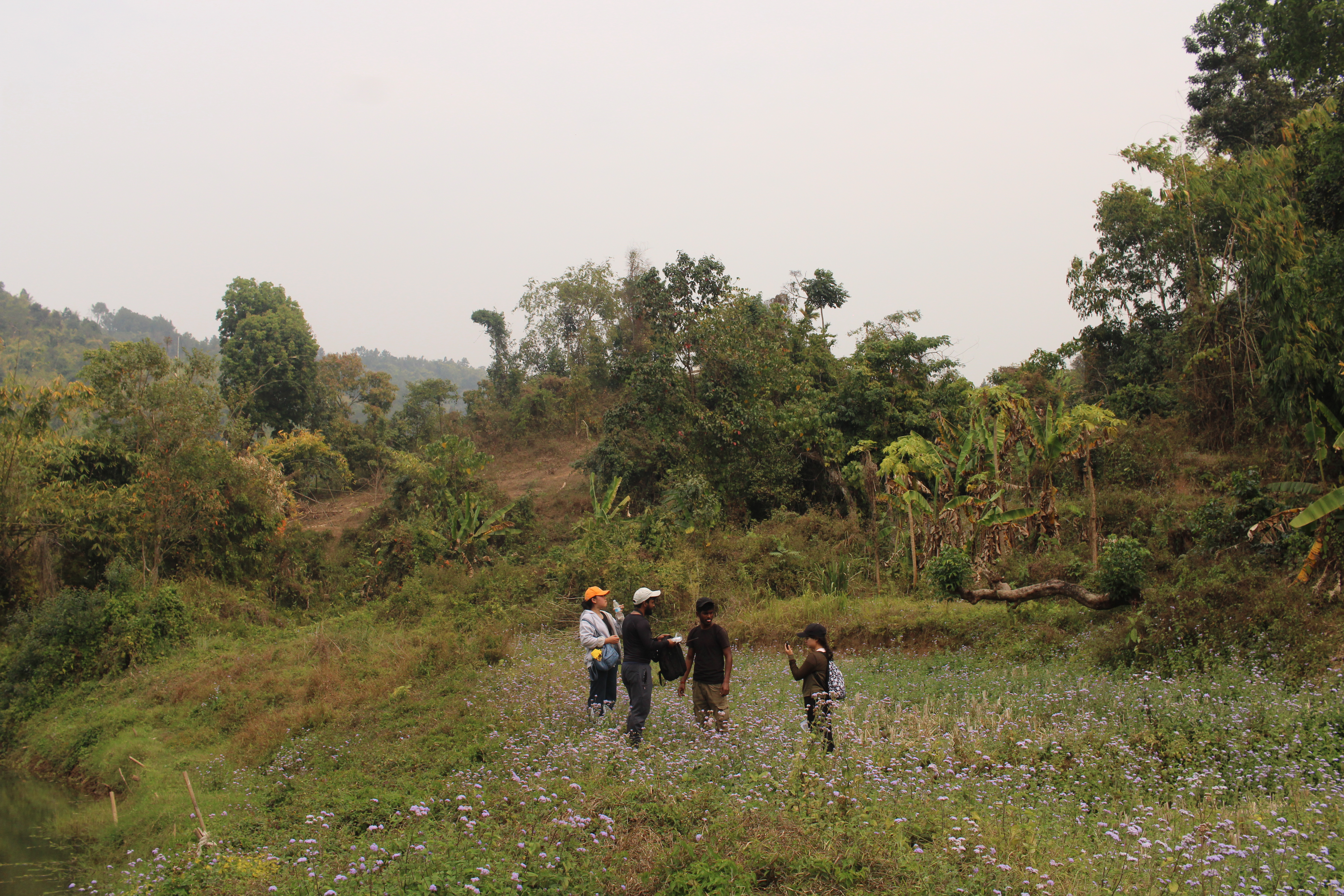
- High-Precision Field Surveys: This involves more than just a simple GPS point. We use survey-grade equipment like Differential GPS (DGPS) or Real-Time Kinematic (RTK) receivers to collect coordinates with sub-meter, and often centimeter-level, accuracy [3]. This level of precision is essential for applications like mapping property boundaries or utility infrastructure.
- Unmanned Aerial Systems (UAS): Drones have become a powerful tool for creating hyper-local ground truth datasets. By flying a drone equipped with a high-resolution camera or LiDAR sensor, we can generate detailed orthomosaics and Digital Surface Models (DSMs). These products can then serve as a "ground truth" layer for validating analysis done with lower-resolution satellite imagery.
- Forest Inventory Plots: In environmental applications, ground truthing often involves establishing physical plots in a forest. Within these plots, we meticulously measure tree species, diameter at breast height (DBH), canopy density, and overall biomass. This detailed data is crucial for calibrating and validating large-scale models that estimate carbon stock from satellite or aerial LiDAR data.
Real-World Applications: Ground Truth in Action
The integration of ground truth is driving tangible outcomes across numerous sectors:
- Precision Agriculture: We collect on-site data about crop health, soil moisture, and pest infestations. This ground truth data is used to train a model that analyzes satellite imagery to identify areas of stress across a farm. The result is a variable-rate application map that guides tractors to apply fertilizer or water only where it is specifically needed, drastically reducing waste and increasing crop yield [4].
- Infrastructure Management: Utility companies rely on ground truth to prevent outages. Field crews use high-precision GPS to map the exact location of utility poles and transmission towers. This data validates the company's asset inventory and is used to fine-tune geospatial models that predict vegetation encroachment, allowing them to deploy trimming crews proactively.
- Disaster Response and Damage Assessment: Following an earthquake or hurricane, initial satellite images provide a rapid overview. However, to understand the true extent of the damage, ground truth is essential. Response teams use mobile apps to survey neighborhoods, tagging individual buildings as "destroyed," "severely damaged," or "intact." This verified data is fed back in near-real-time to create a definitive damage assessment map, allowing officials to prioritize search-and-rescue operations and allocate resources effectively [5].
In conclusion, ground truthing is not merely a single step in a workflow; it is a continuous commitment to scientific rigor and accuracy. By meticulously integrating data from the field with our remote sensing and modeling technologies, we ensure that our geospatial analyses are not only expansive and efficient but, most importantly, are a trustworthy basis for the critical decisions that shape our world.
References
[1] ESA. "Sen2Cor Configuration and User Manual." European Space Agency. Available: http://step.esa.int/main/third-party-plugins-2/sen2cor/
[2] Congalton, R. G. (1991). "A review of assessing the accuracy of classifications of remotely sensed data." Remote Sensing of Environment, 37(1), 35-46.
[3] National Oceanic and Atmospheric Administration (NOAA). "What is DGPS or Differential GPS?" NOAA's National Ocean Service. Available: https://oceanservice.noaa.gov/facts/dgps.html
[4] Mulla, D. J. (2013). "Twenty five years of remote sensing in precision agriculture: Key advances and remaining challenges." Biosystems Engineering, 114(4), 358-371.
[5] Zlatanova, S., & Li, K. (Eds.). (2008). "Geospatial Information Technology for Emergency Response." Taylor & Francis. This book provides comprehensive examples of GIS applications in disaster management.